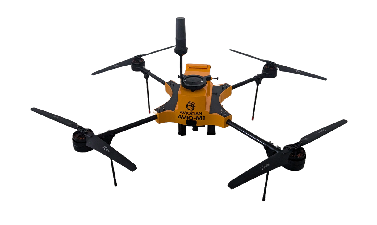
Unlock the Power of Aerial Intelligence
AVIO-MP is a high-performance multi-payload drone crafted for professionals seeking precision, flexibility, and reliability in demanding environments. Designed to support RGB, multispectral, and thermal payloads, its ideal for applications like mapping, surveying, crop monitoring, infrastructure inspection, and search & rescue.
Industry-leading performance
Industry-leading performance
The AVIO-MP delivers over 30 minutes of flight endurance on a single battery, ensuring extended mission capability. It can efficiently map more than 40 acres in one flight, maximizing productivity and minimizing downtime.
Rugged and Field Tested - Designed for harsh environments
Rugged and Field Tested - Designed for harsh environments
Its durable design ensures reliable performance in harsh and demanding environments.
Autonomous Mission Planning - Fully automated flight
Autonomous Mission Planning - Fully automated flight
AVIO-MP supports autonomous mission planning for fully automated flights from takeoff to landing. With advanced navigation and waypoint control, it ensures efficient, hands-free operation.

Real-Time Data Streaming (RGB or Thermal)
Real-Time Data Streaming (RGB or Thermal)
Real-time data streaming from both RGB and thermal sensors, providing immediate situational awareness. This capability enables on-the-fly decision-making during critical operations.
Failsafe Redundancy
Failsafe Redundancy
With return-to-home on Low Battery and Communication Failure

Proudly Designed and Manufactured in India
Proudly Designed and Manufactured in India
It reflects a commitment to quality, precision, and self-reliance in advanced drone technology.
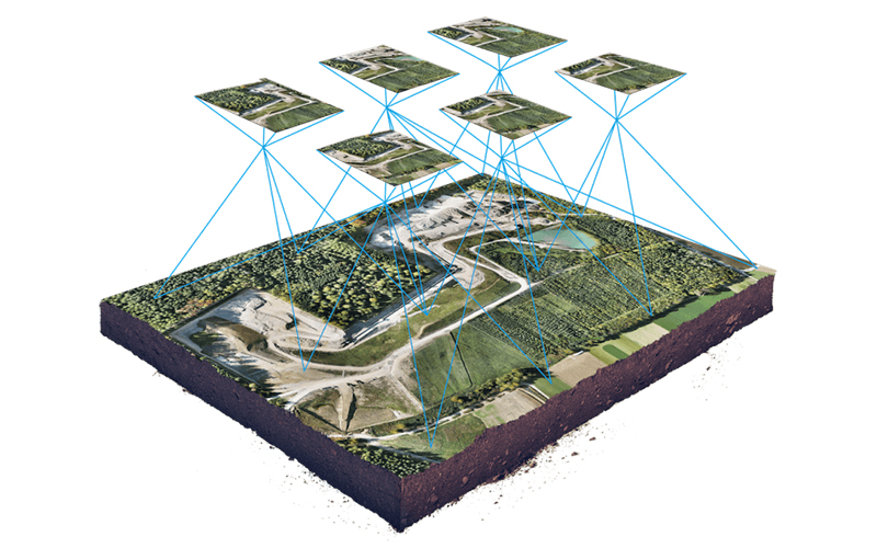
High-resolution geotagged imagery with centimeter-level accuracy using RTK/PPK GNSS integration.
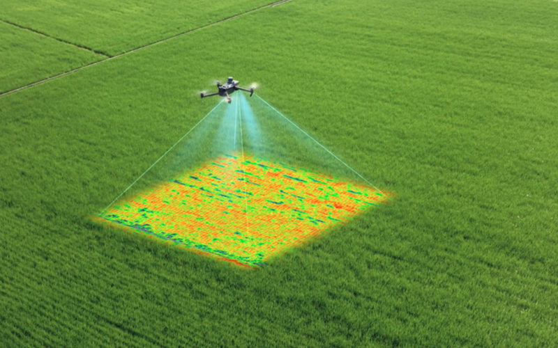
Monitor crop health, vegetation indices, and water stress for precision agriculture.
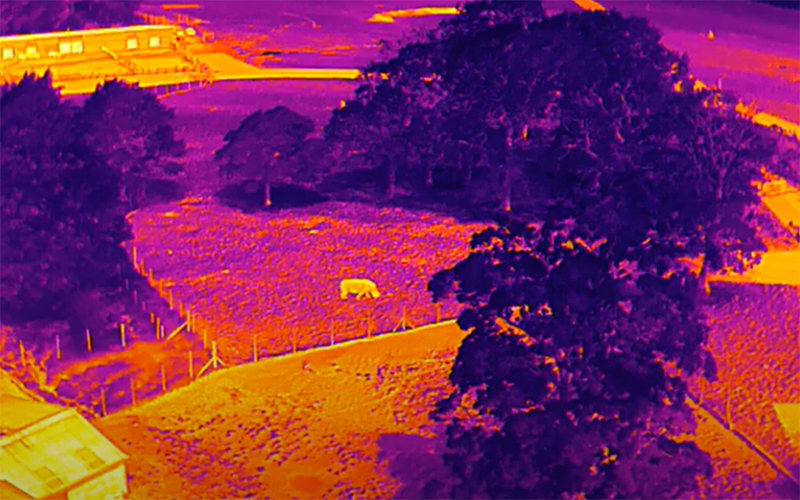
Industrial inspections, solar panel defects, heat anomalies, and precision search & rescue.
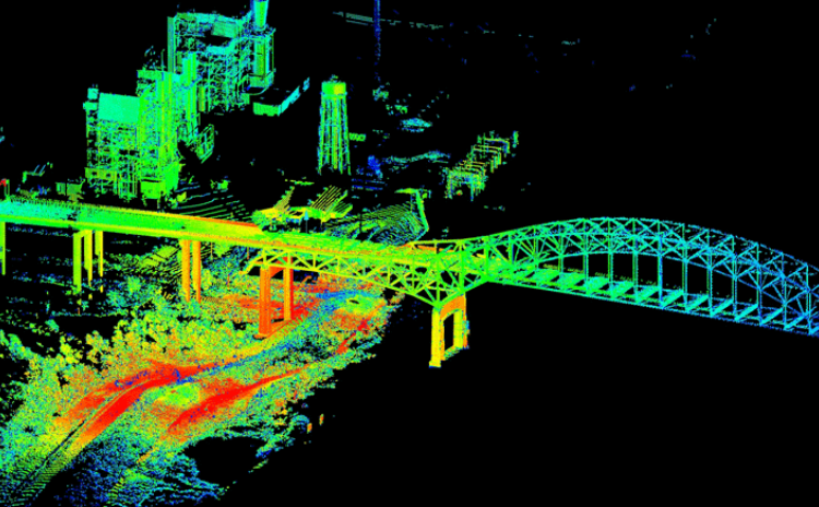
Generate precise 3D point clouds for topographic, infrastructure and construction monitoring.
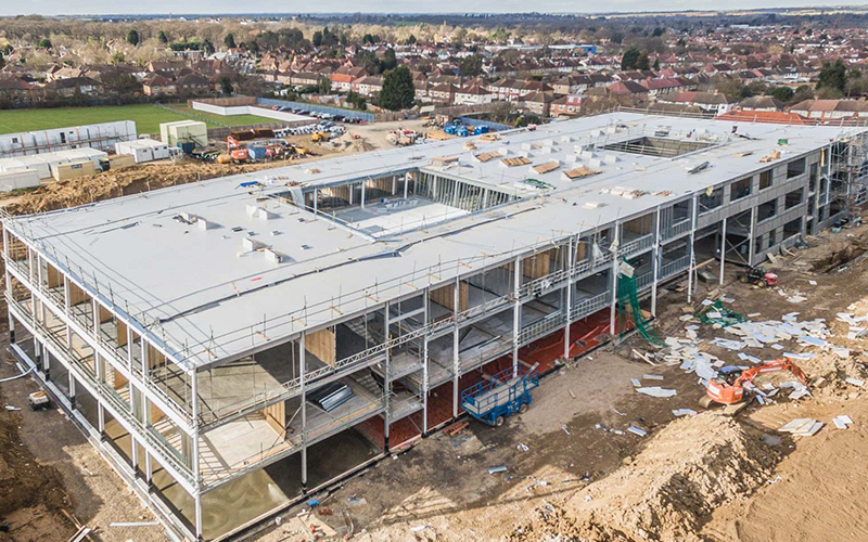
Capture live visual feeds for inspection, media production, or site monitoring.
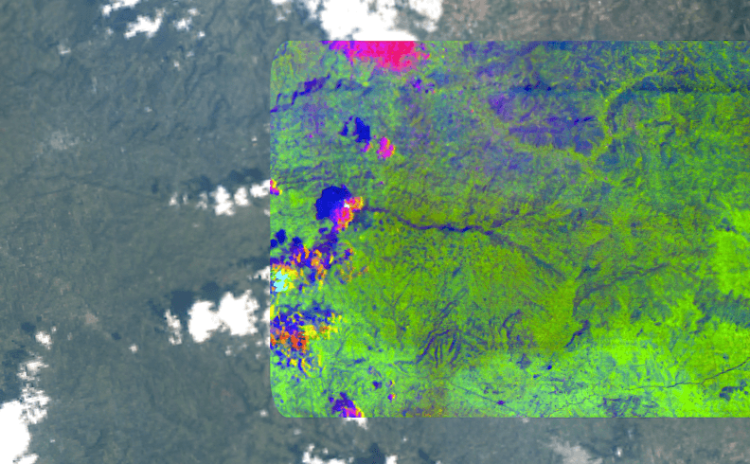
Material detection, mineral analysis, environmental monitoring, and precision agriculture.